
Every line is a road worth the drive
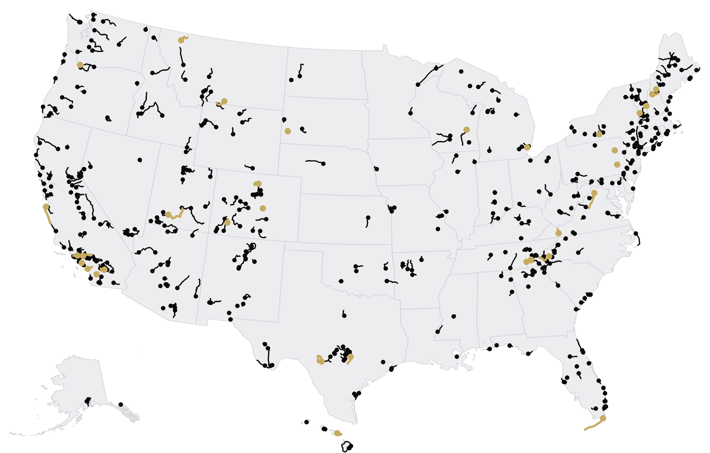
ROAM's map is black and white on purpose, so the roads stand out: 544 of them in all 50 states, each one researched and traced along the real road.
Five kinds of drive
Every road has one or more of these, so you can filter for the drive you're after.
Scenic
Roads where the views are the reason to go: coast, mountains, canyons, water.
Sporty
Curves, climbs and rhythm. Sporty describes the road, never a speed.
Cruise
Boulevards, main streets and waterfronts, driven for the scene and the skyline.
Top Rated
The nationally known classics, and public roads with motorsport history.
Gravel / Rally
Long public gravel roads, some used as rally stages. Driven at normal road speeds.
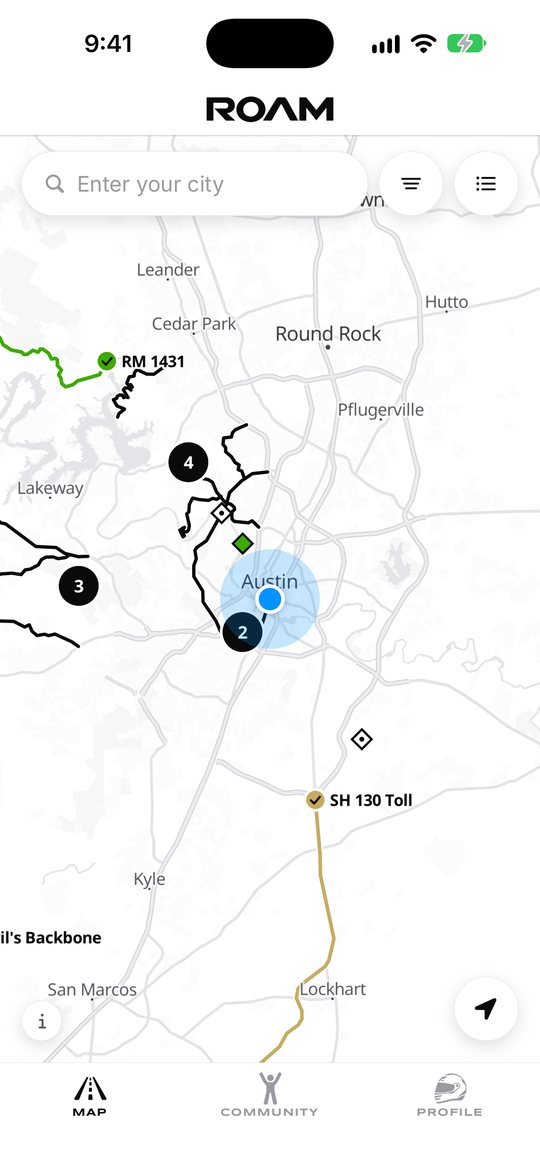
Find roads near you, or anywhere
Center the map on yourself, or search for a city. Zoomed out, nearby roads gather into numbered bubbles; zoom in and every road appears with its name.
- Filter by Scenic, Sporty, Cruise, Top Rated or Gravel / Rally
- See the same roads as a list, nearest first
- Too few roads in view? ROAM shows the nearest ones and zooms out to them
- Works without your location: just search for a city
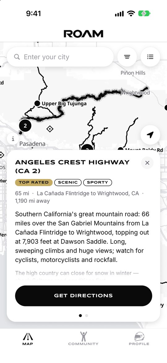
A card for every road
Tap a road for its story: a few lines on what makes it worth the drive, its length and region, and a note when it closes for winter.
- The scenic spots along it, one tap away
- Get directions: the road's start, in Apple Maps
- Swipe over to mark it To-Do, Partially Complete or Complete
Your map, in color
Roads start in black. As you drive them, they change.
To-Do dashed blue: roads you plan to drive
Partially Complete pink: you've driven part of it
Complete green, with a check on its marker. Top Rated roads turn gold, Gravel / Rally orange.
Complete one and ROAM celebrates, then counts it on your Profile: roads, Top Rated roads, scenic spots and states.
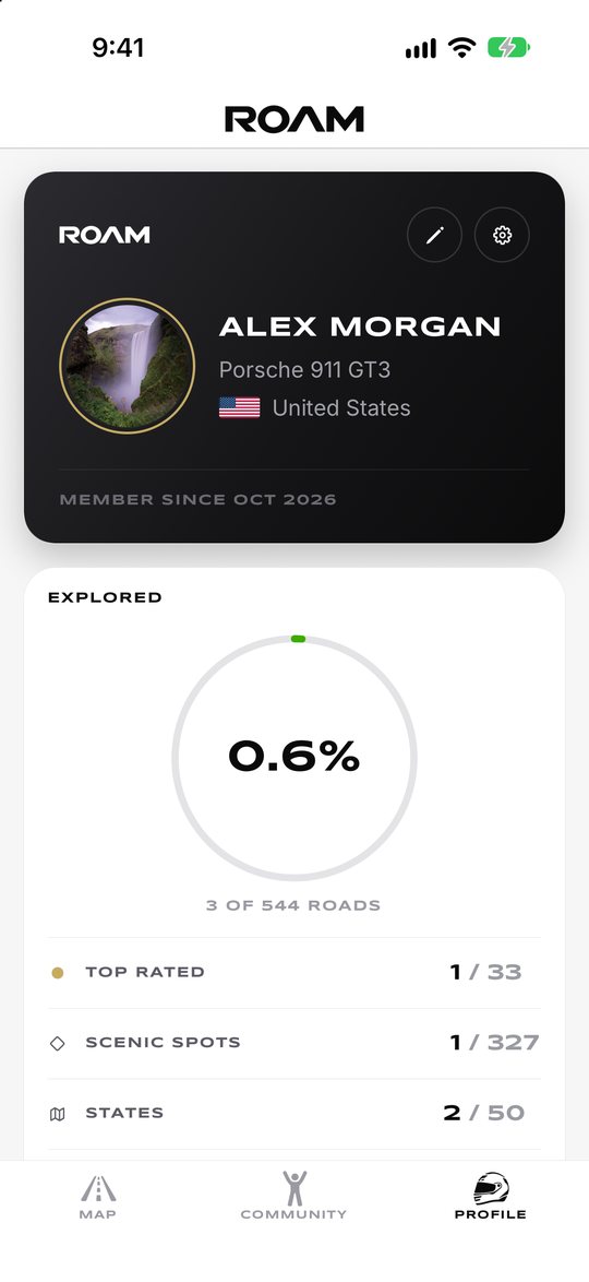
Scenic spots
327 overlooks, waterfalls and landmarks sit along ROAM's roads, marked with a diamond. Stop, take it in, and mark it Visited.
Coverage
Every ROAM road, with Top Rated roads in gold. Alaska and Hawaii are shown below the mainland.
How roads are chosen
Each road is researched from public sources, then traced along the real road on OpenStreetMap. For very long roads, ROAM picks the best-known stretch. Know a road that belongs here?